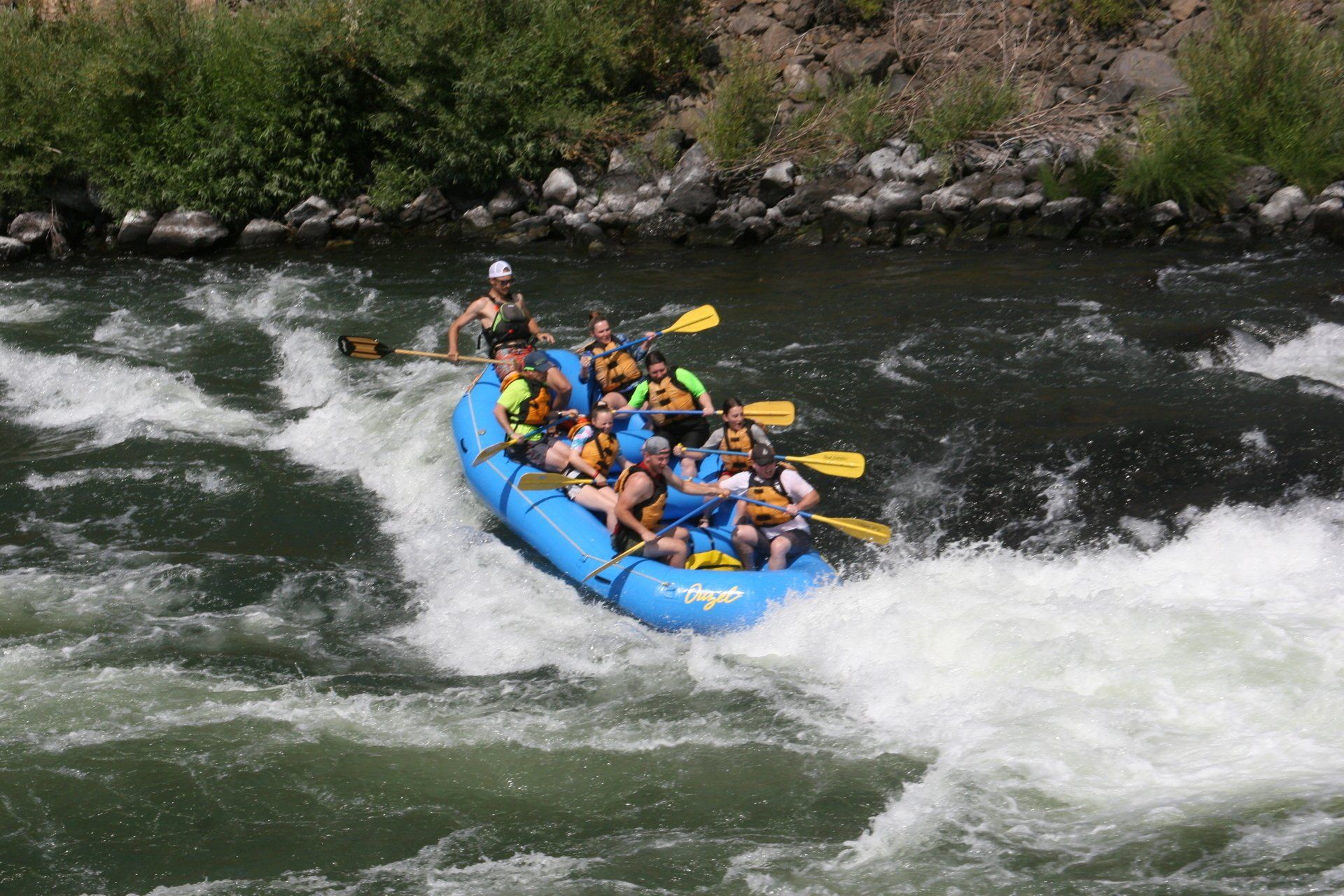
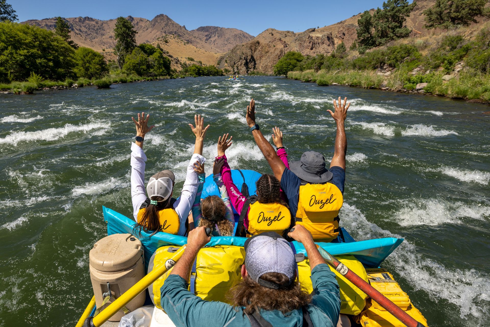
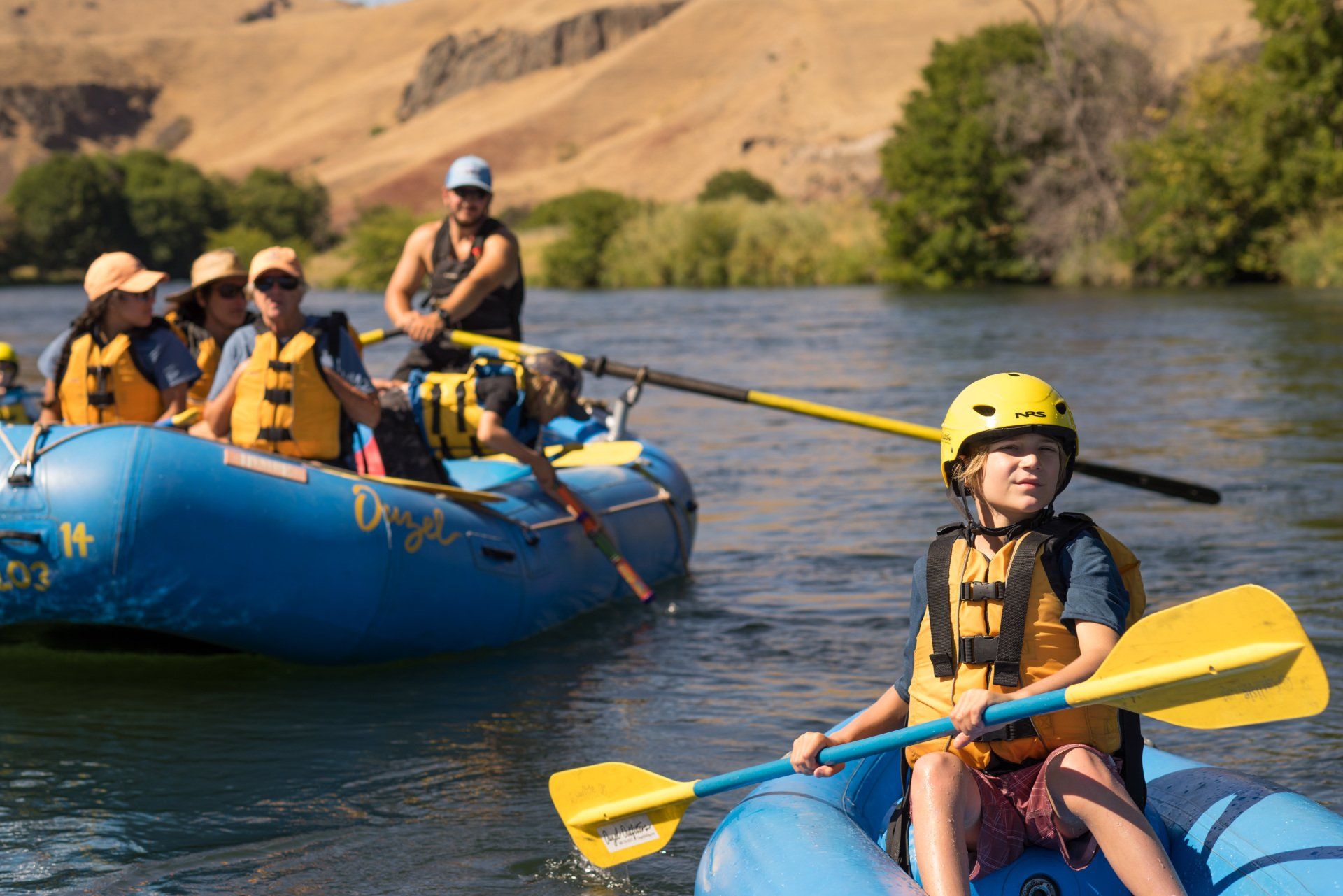
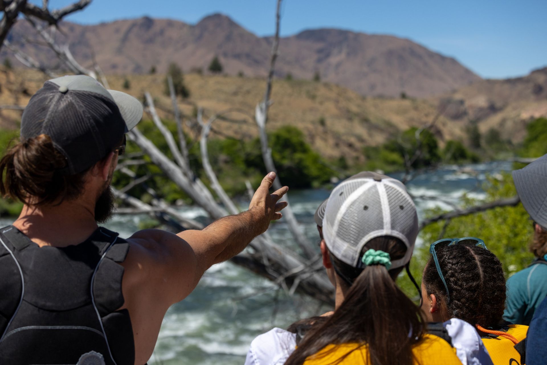
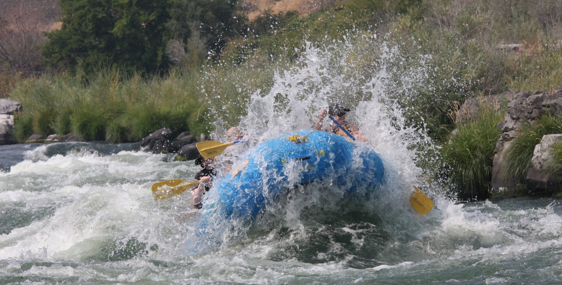
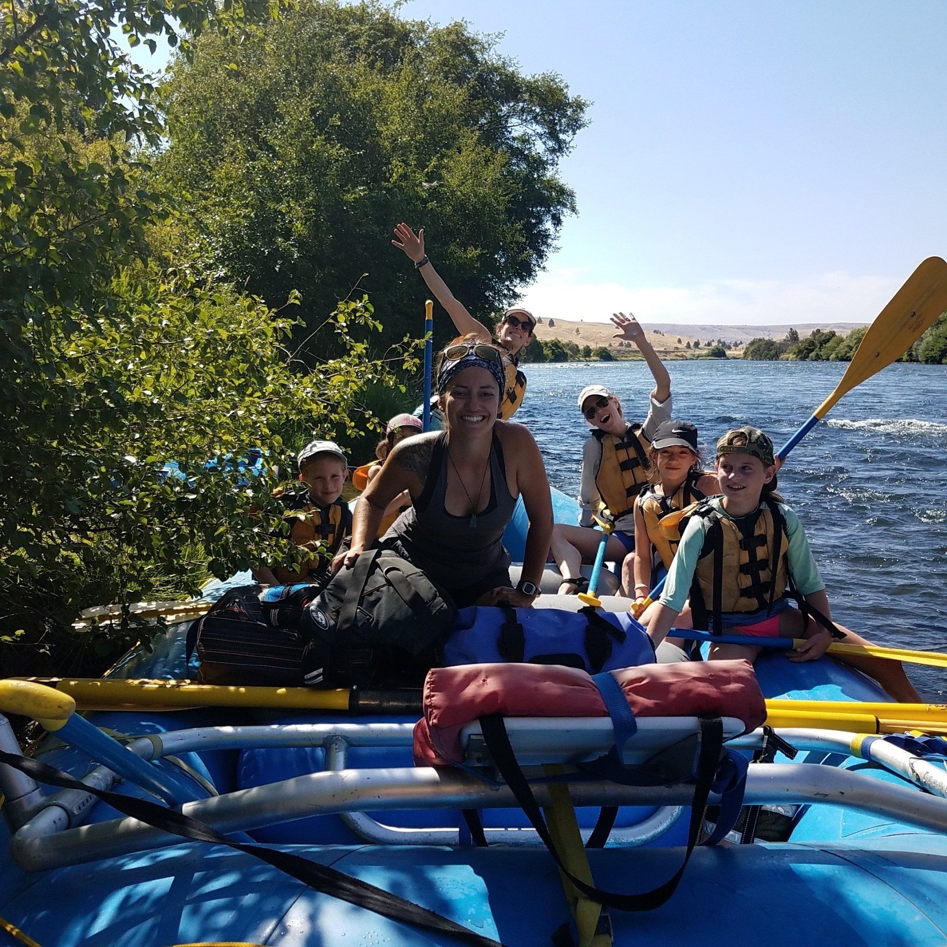
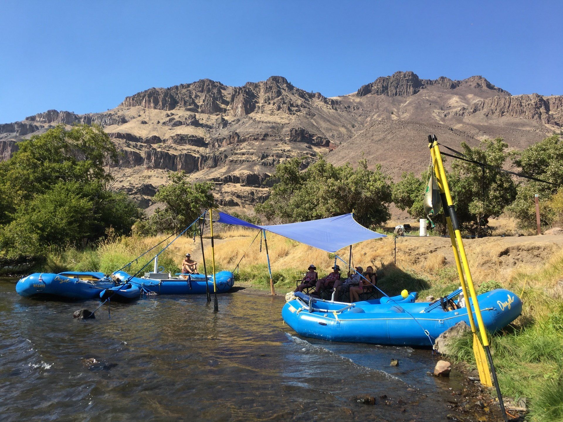
Just a hop and skip away from Bend and Portland, The Deschutes River offers dramatic high desert canyon scenery, splashy Class III rapids, and endless possibilities for white water rafting in Oregon. As one of the most popular rafting destinations, the Deschutes is perfect for beginners and seasoned adventurers alike.
Conveniently located near Mt. Hood, the Columbia River Gorge, the river is ideal for a variety of Oregon white water rafting trips. Whether you’re planning a one-day rafting excursion, a weekend whitewater getaway, or a multi-day Deschutes River rafting adventure, this iconic river delivers fun, excitement, and spectacular views.
Trip Length: 1 to 3 Days
Rafting Season: April – September
Difficulty: Class II-III
Minimum Age: 6
1 Day Trip
Oregon's Most popular
$139.00 (Adult)
$129.00 (Youth -12 & Under)
The 1-Day trip runs 13 miles from Harpham Flat to Sandy Beach near the town of Maupin, Oregon. This trip offers fun whitewater, plenty of sunshine and lots of "play time". Moderate, class III rapids make it fun for everyone. A great option convenient to Portland, Mt Hood, the Columbia River Gorge and Bend.
2 Day Trip
your new favorite vacation
$759.00 (Adult)
$709.00 (Youth - 12 & Under)
The 2-Day trip runs 36 miles from Trout Creek to Maupin City Park. The perfect weekend getaway! Spend two days shooting the rapids and a comfortable night under the stars. This is a great way to experience what multi-day rafting is all about. Sit back, relax and let our guides show you what river time is all about.
3 Day Trip
a classic high desert adventure
$995.00 (Adult)
$945.00 (Youth - 12 & Under)
The 3-Day trip runs 36 miles from Trout Creek to Maupin City Park. Enjoy a more relaxed pace with extra time for hiking, playing or just relaxing in camp. Challenge famous rapids like Whitehorse, Buckskin Mary, Wapanitia and Boxcar in rafts and inflatable kayaks. Enjoy two nights of camping and wonderful meals prepared by our guides.
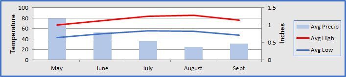
The weather is usually sunny and warm from June to mid-September. Brief thundershowers are always possible during summer afternoons. Water temperatures are cool year-round averaging in the mid-50s to low 60s. Swimming is refreshing on warm days.
Meeting Locations
Full-Day Trips:
Transportation from the Shilo Inn in Bend is available but space in our shuttle vans is limited. If we cannot provide transportation because our vans are full, or if you would rather not ride in our vans, you have the option to meet us in the overflow parking area at Maupin City Park in Maupin and we will have your vehicle shuttled to the take-out during the trip. Both of these options are included in the price.
Multi-Day Trips:
All multi-day Deschutes River trips meet at the Trout Creek Campground boat ramp at 9:00 a.m. Your vehicle will be shuttled to the take-out at Maupin City Park during the trip.
Vehicles, Shuttles and Valuables
We recommend leaving valuables at home or at the very least locking them in your trunk, glove box or keeping them out of sight. For full-day trips, wallets can be stored in the dry bags available on each raft along with keys. Valuables and other items may also be left in an Ouzel vehicle during the trip, and while theft in this area is rare, we cannot guarantee against it. Pets: Do NOT leave pets in your vehicles.
If your vehicle is being shuttled (driven) to the take-out during the trip, this service is provided by a professional shuttle company that is licensed/permitted by the Bureau of Land Management to perform these services. We have used the same shuttle company for many years. They are professional and dependable.
Shilo Inn Location Map (Full-Day Trips)
Maupin City Park Location Map (Full-Day Trips)
Trout Creek Boat Ramp (Multi-Day Trips)
Maupin, Oregon
Quaint, cozy cabins with a restaurant and bar.
(541) 395-2611
Offers a unique combination of intimacy, amenities and exclusivity.
(541) 980-7113
Area Options for Tent & RV Camping
Tent camping, pit toilets. No services or potable water. Multi-day trips meet here.
Tent camping, RV sites; limited services.
Tent camping, RV Sites, showers. We meet across the street in the overflow parking area for full-day trips. Multi-day trips end here.
Madras, Oregon
This Inn has received good reviews from our guests! Includes a restaurant and is close to our 2 and 3 day launch location.
(541) 475-5800
Quality Inn (541) 475-6141
Bend, Oregon
Clean, comfortable and convenient. Right on the river! Our meeting location in Bend for full-day trips.
(541) 389-9600
If you want the best in luxury, comfort and customer service, you can't beat the Oxford. In the heart of downtown Bend.
(541) 382-8436
Many options for outdoor recreation including hiking, mountain biking, fishing and more. Dining and lodging as well as several campgrounds in the area.
This State Park located on Lake Billy Chinook features many opportunities for outdoor recreation including hiking, swimming and camping.
The Columbia River Gorge National Scenic Area encompasses 292,500 acres and is unique in its natural and cultural history, as well as its designation as a National Scenic Area. There are many opportunities for sight seeing, including Multnomah Falls, the second highest year round waterfall in the U.S!
Located on the Warm Springs Indian Reservation. A collection of exhibits from the indigenous tribes of the area.
Wild & Scenic River Designation - October 28, 1988
Learn about the outstanding remarkable values that makes the Deschutes River such a special place and helped it to achieve protected status under the National Wild & Scenic Rivers Act.
The variety of plant communities in the Deschutes River Canyon fall into four broad categories; the high desert uplands host big sagebrush, juniper-big sagebrush and bunchgrass types, and the riparian vegetation along the river is dominated by alders.
Humans have occupied the Deschutes Canyon area for at least 10,000 years. One hundred thirty-five prehistoric sites have been recorded in the lower Deschutes River Canyon, and it is believed that many others will yet be found. Most common are habitation sites. One of these, at Macks Canyon Campground, was excavated by University of Oregon archaeologists in the late 1960s and is now listed on the National Register of Historic Places. Sherars Falls, a point of difficult passage for anadromous fishes, is an important traditional fishing station for Native Americans.
The lower Deschutes provides extensive spawning and rearing habitat for both resident fish, such as rainbow trout, and anadromous steelhead and chinook salmon. There is also a regionally unique run of wild sockeye salmon that is sustained by the incidental passage of kokonee smolts through the turbines at the Pelton/Round Butte hydroelectric complex. Runs of anadromous fish sustain an important subsistence fishery for Native Americans.
The Deschutes River flows through the Deschutes-Umatilla Plateau, the main part of which slopes northward from 4,000-foot levels in the mountains of Central Oregon to a 400-foot elevation along the Columbia River. The rocks are mostly Columbia River basalt, nearly 2,000 feet thick. The lava flows that make up the plateau occurred over millions of years and formed in distinct layers of various thickness.
Exploration and fur trapping by Euro-Americans began in the Deschutes Canyon in the early 19th century. Other historic activities that have been documented include use of the Oregon Trail, road and railroad construction and settlement. In the Deschutes Canyon, 38 historic sites have been documented, most of them associated with early railroad construction.
The lower Deschutes River is central Oregon's playground, an ideal location for outdoor sports, from whitewater paddling and swimming to hiking and biking. The river provides a stable, high-volume flow, available for recreation all year long, and it has been internationally known for its excellent fishery for many years. One hundred river miles offer segments favored for relaxed, overnight camping and fishing floats, one-day whitewater adventures, and guided or non-guided fishing trips. Notable activities include following the Lower Deschutes River Back Country Byway along the river to campgrounds at Beavertail and Macks Canyon or the accessible fishing ramp at Blue Hole.
The lower Deschutes River Canyon contains a diversity of landforms, vegetation and color. The river, having carved a canyon nearly 2,000 feet deep in many locations out of rugged Columbia River basalt flows, provides a dramatic and diverse landscape. The clear water of the river framed by the green riparian vegetative fringe creates a stark contrast to the often barren and broken reddish and brown cliffs and hillsides of the canyon. The river provides a boater with a moving platform for viewing the ever-changing scene. While transportation corridors exist (roads and railroads) and occupational and rural development have occurred in several areas, they are overshadowed by the magnitude and beauty of the river and canyon character.
The Deschutes River Canyon provides habitat for approximately 300 different species of wildlife. Most of these utilize riparian habitats adjacent to the river. This provides outstanding opportunities for viewing many species of wildlife including songbirds, waterfowl, mink, heron, mule deer and many reptiles, amphibians and other small and large mammals. Notable species are the bald eagle, peregrine falcon, osprey, Dalles sideboard snail and shortface lanx.