Meet Our Geologists
Dr. Kyle House
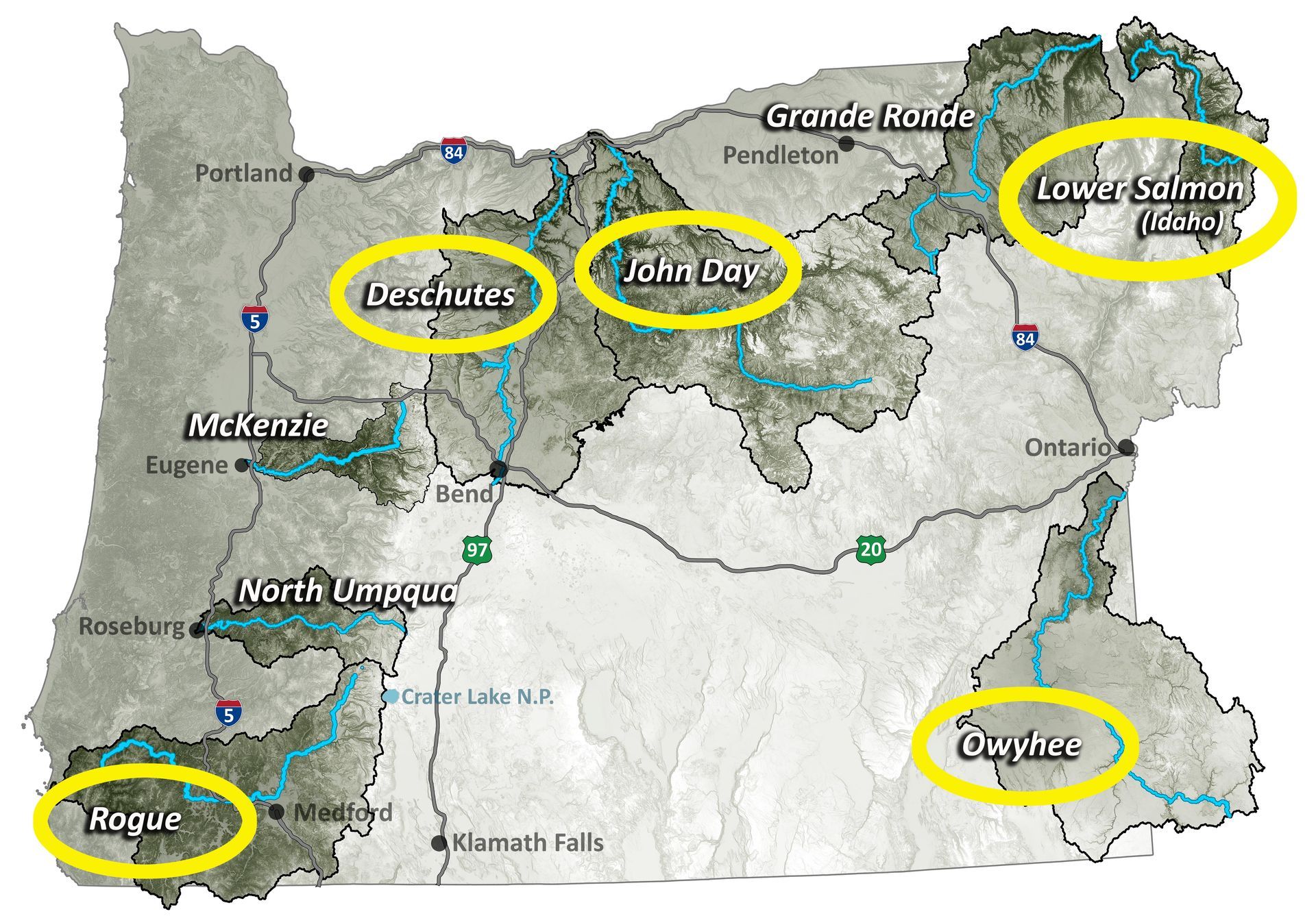
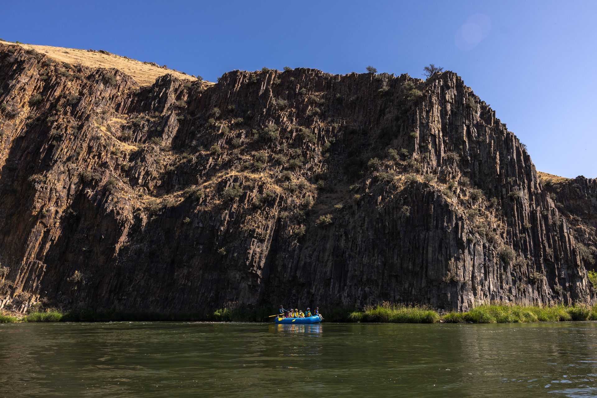
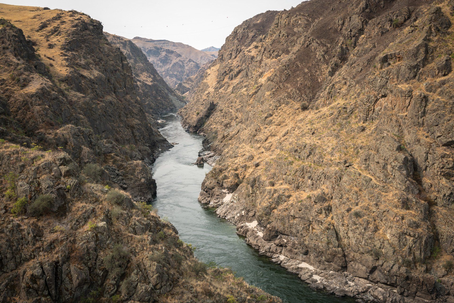
Kyle works for the Arizona Geological Survey as a Research Geologist. He is a geologic mapping specialist with more than 30 years of professional experience creating geologic maps of beautiful desert landscapes created by rivers, lakes, alluvial fans, volcanos, earthquakes, and landslides. Kyle has been mapping the fantastic landscape of the Owyhee River Corridor for 18 years and has logged 100s of miles of foot traverses in the corridor and has floated the river with maps and hiking boots in hand ~10 times. He has also been mapping the lower Colorado River corridor for 25 years and has made maps of a variety of desert rivers including the Humboldt, Walker, Truckee, and Carson Rivers in Nevada, and the Bill Williams, Verde, and Santa Cruz Rivers in Arizona. He currently lives in Flagstaff, AZ and various field areas.
Dr. Gordon Grant
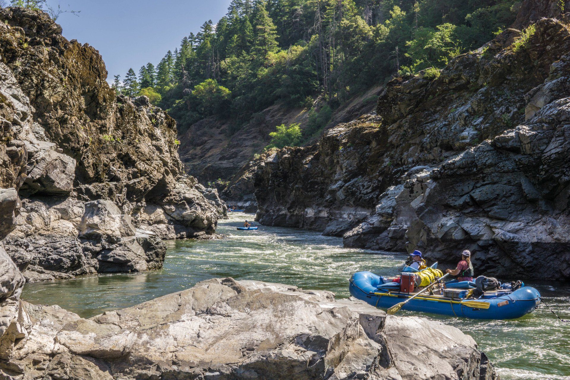
Gordon Grant is a Research Hydrologist with the USDA Forest Service at the Pacific Northwest Research Station in Corvallis, Oregon, USA, and also Courtesy Professor in the College of Earth, Ocean, and Atmospheric Sciences at Oregon State University. Following a decade-long career as a whitewater river guide on western US rivers, in 1985 he began his career with the research branch of the Forest Service with the overarching goal of advancing understanding of how stream networks, watersheds, and entire landscapes respond to changes in streamflow, sediment transport, and wood entrainment. His research has focused on the geomorphic response of rivers to changes in stream flow and sediment transport due to land use, dams and dam removal, volcanic eruptions, and climate change. He is a former Deputy and Associate Editor for the journal Water Resources Research, and a Fellow of the Geological Society of America.
Dr. Emily Cahoon
Emily works in the College of Earth, Ocean, and Atmospheric Sciences at Oregon State University (OSU) and at Isotopx, a mass spectrometry company based out of the UK. Emily has industry experience in the fields of environmental consulting and mineral exploration and her research pursues geochemical, petrologic, and volcanological problems – with an emphasis on magma modification processes and eruption timescales associated with emplacement of Large Igneous Provinces. Her graduate work explored the volcaniclastic deposits of the Clarno and John Day Formation, along with the volcanic history of the Columbia River Basalt Group. Integrating industry experience and research interests, she also operates a small business and is a Registered Geologist here in Oregon. In her free time, Emily enjoys exploring rural post offices with her corgi Regis.